Found out there is Redbox Karaoke in Philippines too....
Sunday, March 27, 2005


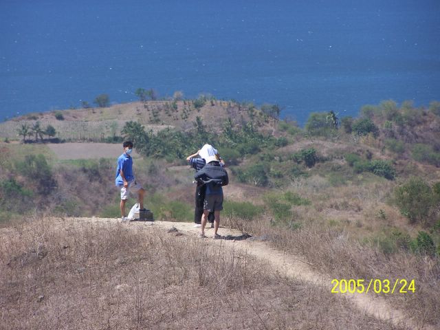
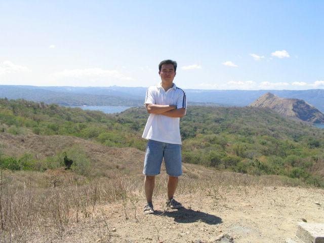


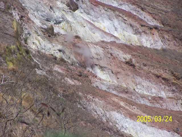
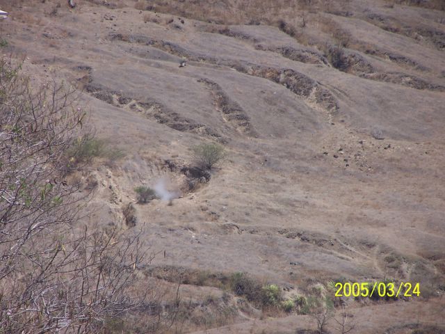
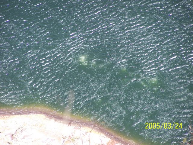
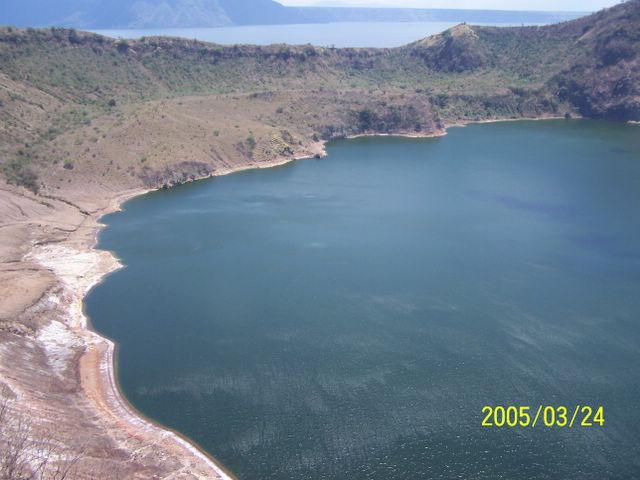
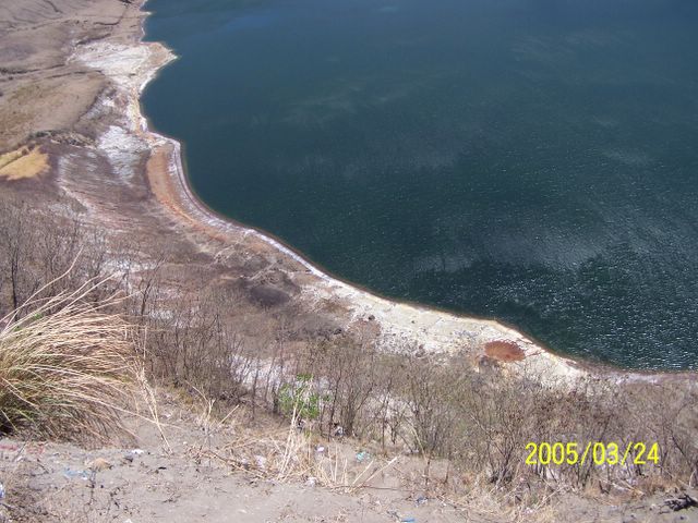
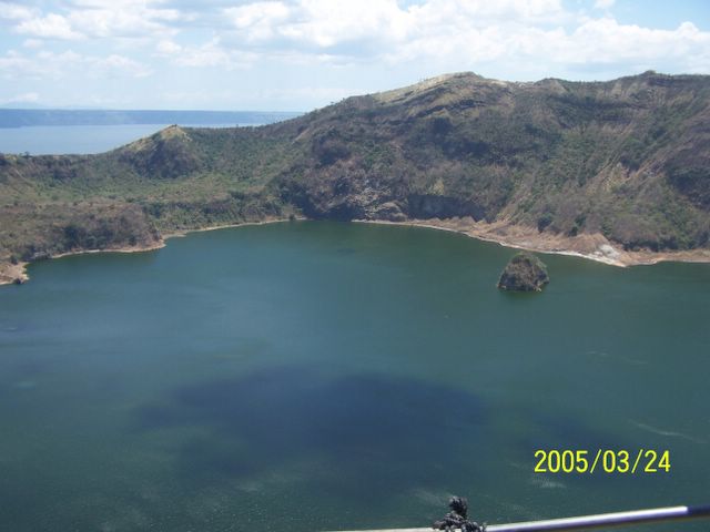
This is an image of Taal volcano, near Manila on the island of Luzon in the Philippines. The black area in the center is Taal Lake, which nearly fills the 30-kilometer-diameter (18-mile) caldera. The caldera rim consists of deeply eroded hills and cliffs. The large island in Taal Lake, which itself contains a crater lake, is known as Volcano Island. The bright yellow patch on the southwest side of the island marks the site of an explosion crater that formed during a deadly eruption of Taal in 1965. The image was acquired by the Spaceborne Imaging Radar-C/X-band Synthetic Aperture Radar (SIR-C/X-SAR) aboard the space shuttle Endeavour on its 78th orbit on October 5, 1994. The image shows an area approximately 56 kilometers by 112 kilometers (34 miles by 68 miles) that is centered at 14.0 degrees north latitude and 121.0 degrees east longitude. North is toward the upper right of the image. The colors in this image were obtained using the following radar channels: red represents the L-band (horizontally transmitted and received); green represents the L-band (horizontally transmitted and vertically received); blue represents the C-band (horizontally transmitted and vertically received). Since 1572, Taal has erupted at least 34 times. Since early 1991, the volcano has been restless, with swarms of earthquakes, new steaming areas, ground fracturing, and increases in water temperature of the lake. Volcanologists and other local authorities are carefully monitoring Taal to understand if the current activity may foretell an eruption. Taal is one of 15 "Decade Volcanoes" that have been identified by the volcanology community as presenting large potential hazards to population centers. The bright area in the upper right of the image is the densely populated city of Manila, only 50 kilometers (30 miles) north of the central crater.


Subscribe to:
Posts (Atom)

